
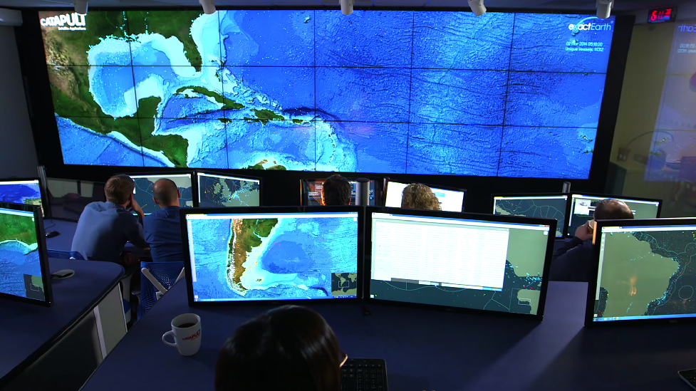
Water Pollution Data Technology
Monitoring water pollution by satellite
This Technology provides water pollution data using Radar from the European Space Agency seven Copernicus Sentinel Satellites at 815km above the earth .
Fast and accurate reporting
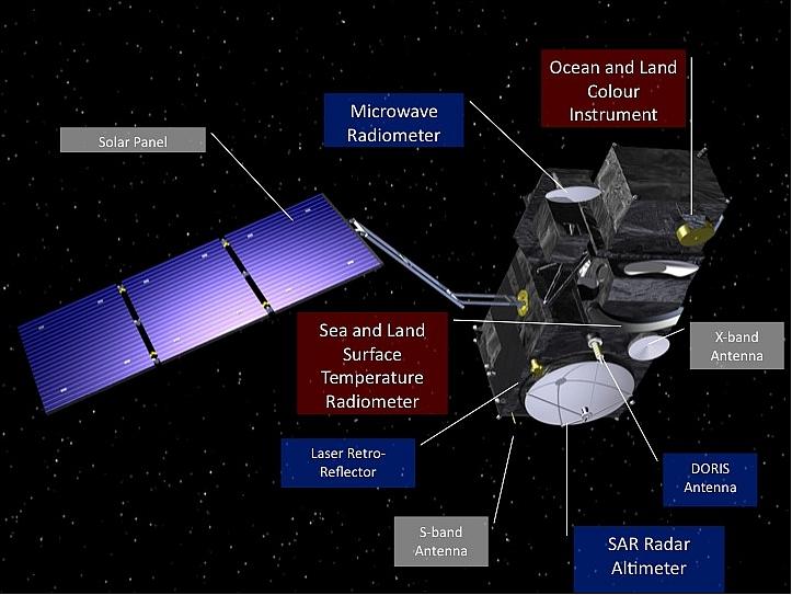
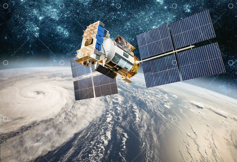
The Sentinel-3 (S3) mission of ESA and the EC is one of the elements of the GMES (Global Monitoring for Environment and Security) program, which responds to the requirements for operational and near-real-time monitoring of ocean, land and ice surfaces over a period of 20 years. The topography element of this mission will serve primarily the marine operational users but will also allow the monitoring of sea ice and land ice, as well as inland water surfaces, using novel observation techniques.The Sentinel-3 mission is designed as a constellation of two identical polar orbiting satellites, separated by 180º, for the provision of long-term operational marine and land monitoring services. The operational character of this mission implies a high level of availability of the data products and fast delivery time, which have been important design drivers for the mission

Objectives and reports
The main observation objectives of the mission are summarized in the following list:
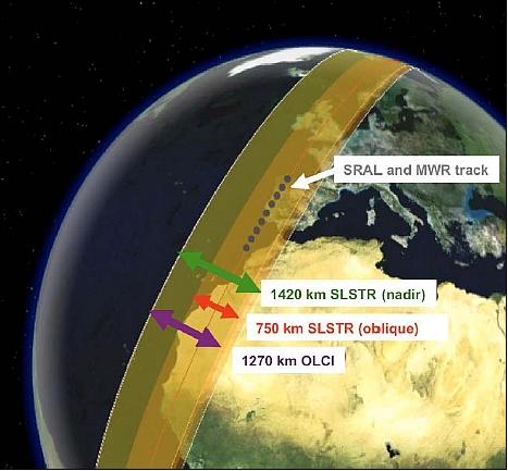
• Ocean and land color observation data, free from sun-glint, shall have a revisit time of 4 days (2 days goal) and a quality at least equivalent to that of Meris instrument on Envisat. The actual revisit obtained over ocean at the equator (worst case) is less than 3.8 days with a single satellite and drops below 1.9 days with 2 satellites, phased 180° on the same orbital plane.
• Ocean and land surface temperature shall be acquired with at least the level of quality of AATSR on Envisat, and shall have a maximum revisit time of 4 days with dual view (high accuracy) observations and 1 day with single view. Achieved performance is shown to be significantly better, even with a single satellite (dual view: 3.5 days max, 1.8 days average).
• Surface topography observations shall primarily cover the global ocean and provide sea surface height (SSH) and significant wave height (SWH) to an accuracy and precision at least equivalent to that of RA-2 on Envisat. Additionally, Sentinel-3 shall provide surface elevation measurements -in continuity to CryoSat-2 - over ice regions covered by the selected orbit, as well as measurements of in-land water surfaces (rivers and lakes).
In addition, Sentinel-3 will provide surface vegetation products derived from synergistic and co-located measurements of optical instruments, similar to those obtained from the Vegetation instrument on SPOT, and with complete Earth coverage in 1 to 2 days.
The EU Marine Core Service (MCS) and the Land Monitoring Core Service (LMCS), together with the ESA GMES Service Element (GSE), have been consolidating those services where continuity and success depends on operational data flowing from the Sentinels.
The operational character of the mission implies a high level of availability of the data products and fast delivery time, which have been important design drivers for the mission.
Related Projects

Project Name
Title or short description